Grand Bay-Westfield is an incorporated town in the western part of Kings County, New Brunswick, Canada. The town borders Saint John on its northwestern boundary. Take a look below for 25 interesting and fascinating facts about Grand Bay-Westfield, New Brunswick, Canada.
1. The town is an amalgamation of the original town of Grand Bay and the neighbouring village of Westfield immediately to the north.
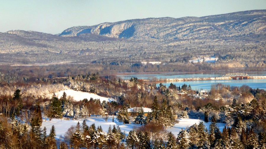
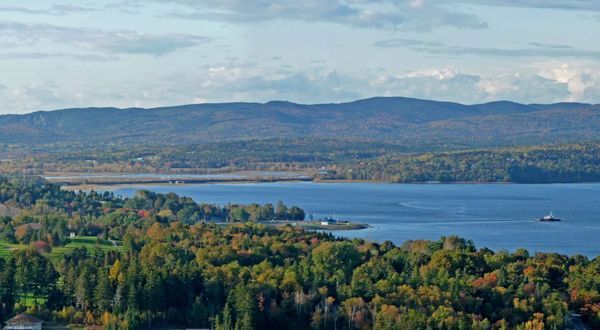
2. Grand Bay-Westfield is situated on the west bank of the Saint John River immediately north of the boundary between Kings County and Saint John County.
3. The town is a suburb of the city of Saint John and its population is split with 3,405 residents in the Grand Bay neighbourhood and 1,544 located in Westfield.
4. Many residents of Grand Bay-Westfield find employment in Saint John; many are tradespeople who work at the Point Lepreau Nuclear Generating Station, or the Coleson Cove Generating Station, as well as various J.D. Irving Limited pulp and paper factories and the Moosehead brewery – all located on the west side of the city.
5. The area was discovered by Samuel de Champlain, who named Grand Bay (Grande Baie) for its wide view.
6. Westfield is either named after Westfield, MA, where some of its settlers came from, or for its geographic location on the west shore of the Saint John River and Nerepis River.
7. The area started out as “cottage country” for the Saint John area, and remained so for a long time (and is still considered to be so by some).
8. Due to the steep hills and rock, the area never became heavily engaged in agriculture, although some did exist and still does.
9. The two municipal governments were merged in 1998 with the new municipality occupying much of the western portion of King’s County.
10. In 1869 the European and North American Railway Western Extension was opened through the area between Saint John and Vanceboro, Maine. The rail line changed ownership to the New Brunswick Railway before becoming part of the Canadian Pacific Railway mainline from Saint John to Montreal in the 1880s.
11. CPR established several stations through the area (Grand Bay, Pamdenec, Epworth Park, Ingleside, Ononette, Hillandale, Westfield Beach, Lingley, Sagwa, and Nerepis). The rail line was sold in 1995 and is now operated as the New Brunswick Southern Railway.
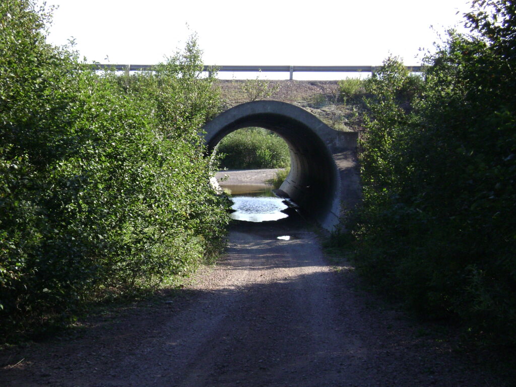
12. Route 177 is the town’s main road, called River Valley Drive in the Grand Bay section of town and Nerepis Road in the Westfield part. Other main streets are Woolastook Drive, which winds through the highlands of Grand Bay, and Inglewood Drive is host to the Pamdenec, Epworth Park, Brandy Point & Ingleside subdivisions on Grand Bay’s shore front.
13. Also, NB Route 102 which begins north of Fredericton ends in Westfield. Highway 7, the main route from Saint John to Fredericton, passes through the western extremity of the town. In September, 2008, part of the ground that supports the railway tracks were washed away after Hurricane Hannah.
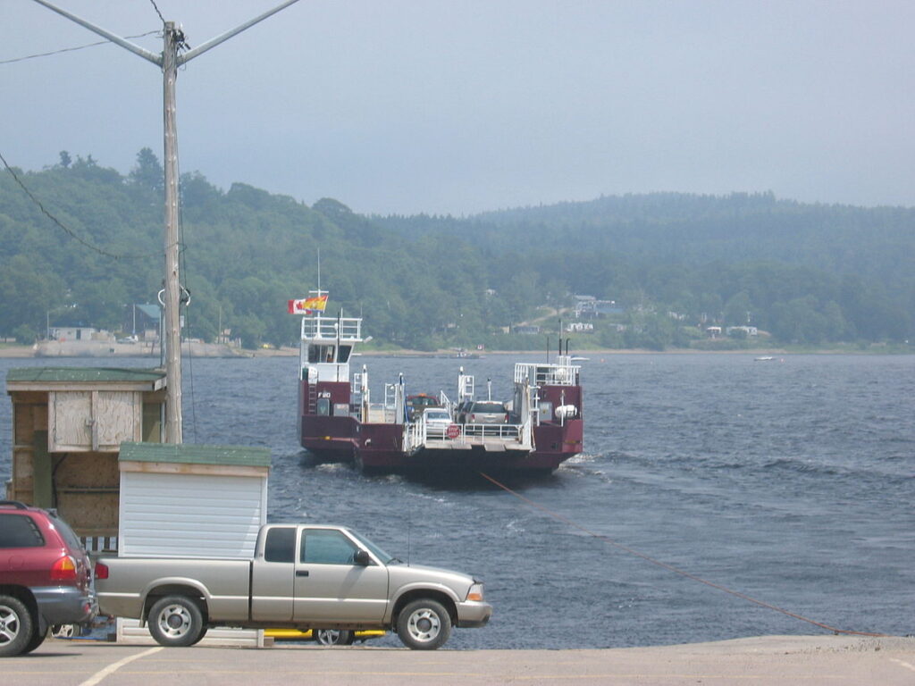
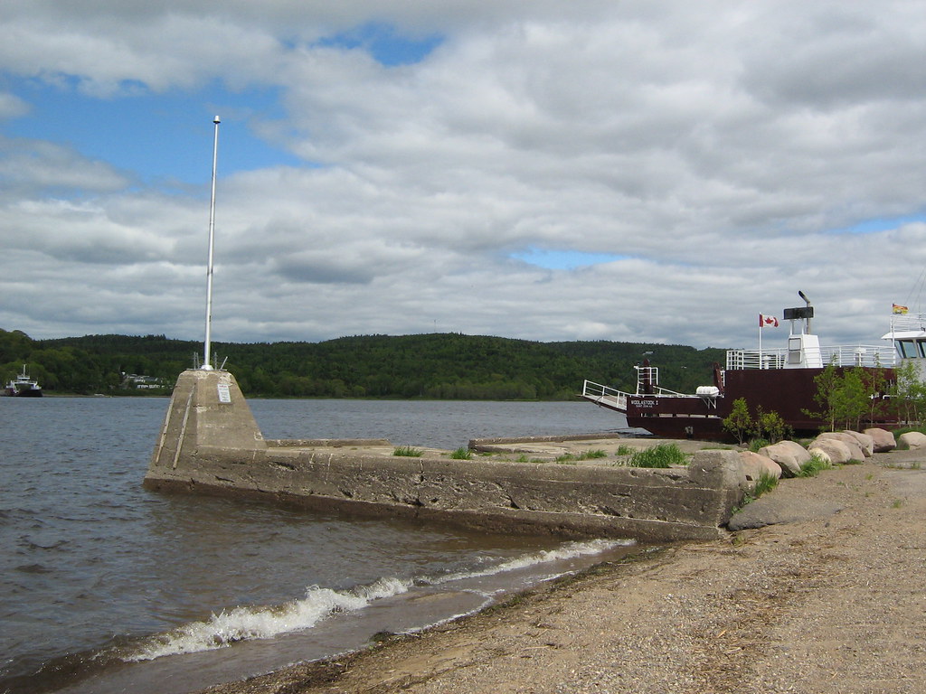
14. The town has a ferry landing at the end of Ferry Road in Westfield.
15. The Westfield Ferry, a cable ferry route operated by the provincial Department of Transportation using a pair of ferries, connects Westfield with the community of Hardings Point on the Kingston Peninsula.
16. There is a popular campground just a few feet from the Hardings Point ferry landing.
17. The Canadian Coast Guard maintains a seasonal (summer only) search and rescue station at Brundage Point near the Westfield ferry landing. Inshore Rescue Boat Station Saint John (IRB Station Saint John) operates a Zodiac Hurricane 733 fast rescue craft in the lower Saint John River, covering all areas downstream from Evandale to the Reversing Falls, including the Kennebecasis River and Belleisle Bay. IRB Station Saint John is tasked by Joint Rescue Coordination Centre Halifax.
18. Grand Bay neighbourhoods (areas around Murray St, Thompson Rd & Bayview Rd) constitute the original Village of Grand Bay. It is the downtown core of the town. Most businesses are located here and the area borders the City of Saint John, although the closest hint of an urban environment is almost 20 minutes away.
19. Highlands/Round Lake is a heavily wooded and very steep, wind through the backlands and end at Round Lake.
20. Pamdenec is a former municipality (Village of Pamdenec) itself, Pamdenec amalgamated with the Village of Grand Bay in the 1970s. The town hall and fire department are located here at 609-615 River Valley Drive.
21. Epworth Park is a former cottage community, it is nestled in the woods right on the Saint John River shore. The arena and middle school are located here.
22. Brandy Point Estates is a suburban-type neighbourhood built in the 1970s and 1980s. Historically part of Epworth Park, it is now much larger in population than Epworth.
23. Ingleside is the last community before Milligan Brook before you enter Westfield.
24. Panoramic Estates is a new neighbourhood being built just north of the Centrum.
25. Epworth Park Heights is west of Epworth Park and is much higher. Epworth Park Heights is very distinct from Epworth Park proper.