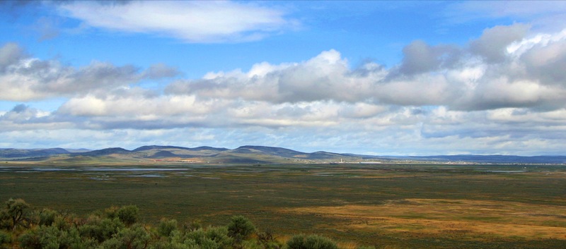
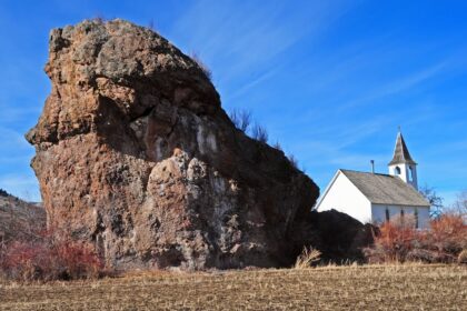
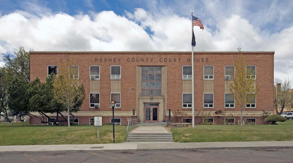
Burns is a city in and the county seat of Harney County, in the U.S. state of Oregon. Take a look below for 25 fascinating and great facts about Burns, Oregon, United States.
1. According to the 2010 census, the population was 2,806.
2. Burns and the nearby city of Hines are home to about 60 percent of the people in the sparsely populated county, by area the largest in Oregon and the ninth largest in the United States.
3. The Burns–Hines region has a high-desert climate but was much wetter in the recent geologic past.
4. The Harney Basin was the largest of many depressions in which lakes formed in southeastern Oregon during the late Pleistocene.
5. Remnants of an ancient lake that reached as far north as Burns are at the center of the Malheur National Wildlife Refuge, south of the city.
6. Northern Paiutes or their ancestors, who were hunter-gatherers, have lived in the region for thousands of years.
7. Since the arrival of Euro-Americans in the 19th century, cattle ranching and other forms of agriculture have dominated land use in the area.
8. In 1930, logging in the mountains north of Burns led to the creation of Hines, a lumber company town, and the timber industry remained important to the local economy until the 1990s.
9. In addition to ranching, a variety of private and public enterprises support the Burns–Hines economy in the 21st century.
10. Annual events include a migratory bird festival, the county fair, and a country music jamboree.
11. Archeologists have found evidence of human habitation in the general vicinity of Burns from as early as 10,000 years ago.
12. Members of the contemporary Burns Paiute Tribe of Harney County, descended mainly from the Wadatika band of Paiutes, were hunter-gatherers throughout central and southern Oregon. The Wadatikas were named after the wada seeds collected as food from near Malheur Lake.
13. Their territory covered about 5,300 square miles (14,000 km2) from the Cascade Range to near Boise and from the southern Blue Mountains to south of Steens Mountain.
14. Scattered in the 19th century by clashes with white settlers and soldiers and through forced removal to distant reservations, some of the Paiutes eventually returned to Harney County.
15. In the 1930s, the Burns Paiute Tribe began buying land near Burns and holding tribal elections.
16. By the late 1960s, the tribe had adopted a constitution and tribal bylaws, and in 1972 the Burns Paiute formally became an independent tribe, eligible to enter into contracts with other governments and legal entities.
17. The tribe owns the Burns Paiute Reservation, 770 acres (310 ha) north of Burns, and individual members of the tribe own more than 11,000 acres (4,500 ha) of land elsewhere in the county.
18. In 1991, the tribe had about 350 members, and about 200 lived on the reservation.
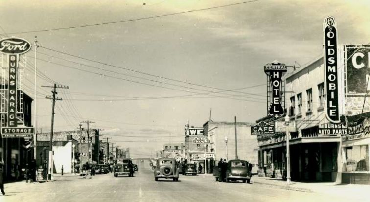
19. After the arrival of Euro-American settlers in the 19th century, Burns was established in the 1880s. It was formally incorporated after Harney County’s creation in 1889 through the splitting of Grant County into two counties. Early settler, merchant, and county commissioner George McGowan named the city after the Scottish poet Robert Burns. By 1891, the community had stores, a post office, hotels, and other businesses. McGowan was the town’s first postmaster.
20. In the 1920s, timber cutting and milling brought many newcomers to the region. In 1928, the Edward Hines Lumber Company acquired from the U.S. Forest Service the rights to cut timber in the Blue Mountains near Seneca, north of Burns.
21. After winning the timber contract, the Hines Company built the 52-mile (84 km) Oregon and Northwestern Railroad between Burns and Seneca.
22. Edward Hines, the company owner, built a lumber mill and company town, incorporated as the City of Hines in 1930.
23. Timber and logging remained important to the local economy until the 1990s, when the area’s last lumber mill closed for lack of timber.
24. Cattle ranching in the region began as early as the 1860s and expanded after passage of the Desert Land Act of 1877.
25. The act promoted development of arid and semi-arid public land in the western United States by making 320-acre (130 ha) plots available to individuals willing to “reclaim, irrigate, and cultivate” the land.

