Omak is a city located in the foothills of the Okanogan Highlands in north-central Washington, United States. With an estimated 4,845 residents as of 2010, distributed over a land area of 3.43 square miles (8.9 km2), Omak is the largest municipality of Okanogan County and the largest municipality in Central Washington north of Wenatchee. Take a look below for 25 fun and amazing facts about Omak, Washington, United States.
1. The Greater Omak Area of around 8,229 inhabitants as of the 2010 census is the largest urban cluster in the Okanogan Country region, encompassing most of its twin city of Okanogan.
2. The population has increased significantly since the 1910 census, reporting 520 residents just prior to incorporation in 1911.
3. The land that is now Omak had been inhabited by various Native American tribes before the arrival of non-indigenous settlers in the early 19th century.
4. The city began to develop after the completion of the Okanogan Irrigation Project affecting the Grand Coulee Dam and other nearby electric facilities.
5. The housing and municipal infrastructure, along with regional infrastructure connecting the new town to other municipalities, were built simultaneously in 1908 supported by the local agricultural industry.
6. The name Omak comes from the Okanagan placename [umák], or the Salishan term Omache—which is said to mean “good medicine” or “plenty”, referring to its favorable climate, with an annual high of around 88 °F (31 °C).
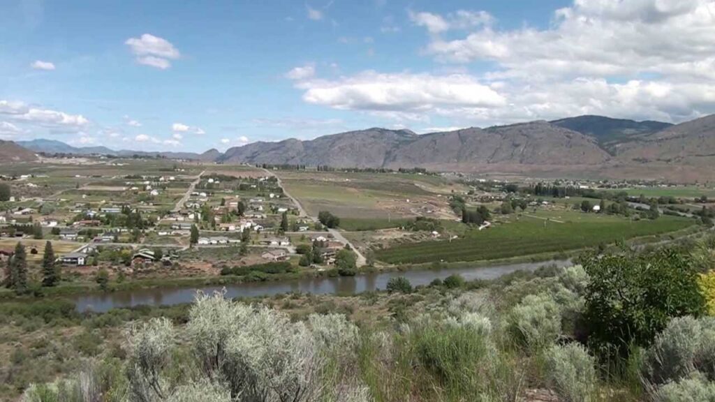
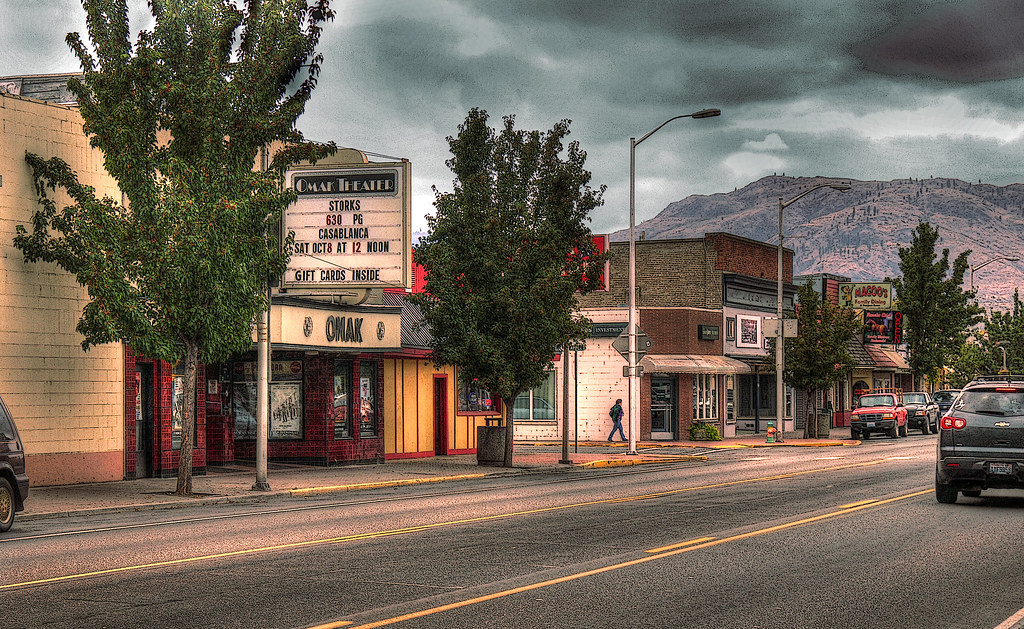
7. Omak acts as the gateway to the Okanogan National Forest and consists of a central business district and residential neighborhoods.
8. Omak is a code city governed by a seven-member council and located in the state’s 4th congressional district. Omak’s economy is dominated by the primary sector industries of agriculture and forestry, although economic diversification has occurred with sawmills and recreational tourism.
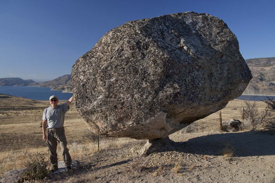
9. Nearby recreational destinations include walking trails, state parks and national forests, such as Conconully State Park, Bridgeport State Park and Osoyoos Lake State Park.
10. The city is home to a weekly newspaper, the Omak–Okanogan County Chronicle, and a Wenatchee Valley College campus. Standards for education in Omak are higher than the state’s average, though drugs and alcohol remain a problem among students. U.S. Route 97 passes through the town, while Washington State Route 155, as well as Washington State Route 215, connects the city to Okanogan and Nespelem, respectively.
11. By road, Omak is located approximately 235 miles (378 km) from Seattle, Washington, 140 miles (230 km) from Spokane, Washington and 125 miles (201 km) from Kelowna, British Columbia.
12. The Okanogan Valley was the traditional homeland of the Syilx (also called Okanogan) Native Americans, whose territory extended north into what is now British Columbia. The Syilx acquired horses in the mid-18th century, which helped them expand northward.
13. They first met non-native traders and missionaries in the early 19th century. The Syilx participated in trade fairs held at Kettle Falls and at the mouth of the Fraser River. Trading networks strengthened after the acquisition of horses in the mid-18th century.
14. In 1811, Fort Okanogan was built by the Pacific Fur Company at the confluence of the Okanogan and Columbia Rivers. The fort’s ownership passed to the North West Company, then the Hudson’s Bay Company. Fort Colvile, near Kettle Falls, was another important fur trading outpost.
15. The Okanogan River was used by fur brigades traveling between Fort Okanogan and Kamloops. In the late 1850s this route became known as the Okanagan Trail and was widely used as an inland route to the Fraser Canyon Gold Rush.
16. In the 1850s, European-Americans settled in the area that is now Omak and built houses and inaugurated mining, logging and agricultural activities. As more white settlers arrived, a dispute about land ownership arose between them and the Native Americans.
17. In response, a treaty stating that an Indian reservation would be formed on some of the disputed land while the European-Americans would own the remaining land was signed. The Indian land was later reduced to about 5,000,000 acres (2,000,000 ha).
18. Colville Indian Reservation was developed around 1872 during the Presidency of Ulysses S. Grant. In 1887, the Confederated Tribes of the Colville Reservation, a federally recognized tribe, was formed by executive order from 12 individual bands as per the General Allotment Act of 1887. The federal government decided to move Colville Indian Reservation’s location west of Columbia River, reducing its area to 2,800,000 acres (1,100,000 ha). It would continue to be reduced for the next 60 years
19. Nearby Alma was platted as an unincorporated community around 1886. Alma was renamed Pogue in honor of orchardist J.I. Pogue, and was later renamed Okanogan—the present name. J.I. Pogue was upset that his name was replaced, and requested that surveyor, civil engineer and settler Ben Ross establish another town 4 miles (6.4 km) to the north.
20. Born in Bureau County, Illinois, Ross worked for the Great Northern Railroad shortly before moving to Okanogan County. He decided to found a new community at Pogue’s proposed location during 1907.
21. It was named Omak, supposedly for the Salishan word Omache—said to mean “good medicine” or “plenty”—and referring to the town’s favorable climate; although according to William Bright the name comes from the Okanagan placename [umák]. Ross sold various items on the present townsite, trying to have his town recognized, and built a cabin in 1907 to provide shelter for his daughter, son and grandchildren—becoming one of the first white men to settle the area.
22. The town began to develop after the completion of the Okanogan Irrigation Project, which was designed to facilitate farming. At this time, many farmers came to Omak looking for homes. Fruits including apples, berries, peaches, plums and watermelons were cultivated after 1910. Omak served as a census-designated place (CDP) in 1910, and incorporated as a city on February 11, 1911.
23. Omak and Okanogan have shared a rivalry in high school sports. During the Great Depression of 1933, several residents of Omak were forced to work in nearby communities. As a result, the United States Bureau of Reclamation promoted work which was available as part of an improvement project at Grand Coulee Dam in nearby Coulee Dam, which employed approximately 5,000 people between 1933 and 1951 when the megaproject ended. By 1950, the city was home to various buildings and structures including the St. Mary Mission church, which satisfied residential needs.
24. In the 1910s, Omak was chosen as the location for a sawmill to expand economic growth. Omak Fruit Growers controlled the mill and a nearby orchard processing factory. The Biles-Coleman Lumber Company bought out the organization and built a sawmill outside municipal boundaries on the nearby Omak Mountain in 1924. A secondary sawmill was constructed in the Omak area.
25. The company and their mills were purchased in 1975 by Crown Zellerbach and thus an associated organization—Cavenham Forest Industries—acquired the mills. The company ultimately went bankrupt, and in response, employees purchased the mill for 45 million dollars and renamed it Omak Wood Products in an attempt to save their jobs.