Silverton is a city in Marion County, Oregon, United States. The city is situated along the 45th parallel about 12 miles (19 km) northeast of Salem, in the eastern margins of the broad alluvial plain of the Willamette Valley. Take a look below for 25 amazing and awesome facts about Silverton, Oregon, United States.
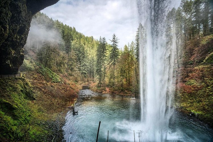
1. The city is named after Silver Creek, which flows through the town from Silver Falls into the Pudding River, and thence into the Willamette River.
2. The community of Milford was founded in 1846 with a sawmill, store and several other buildings two miles upstream from the present location of Silverton.
3. In about 1853 a second sawmill was built on Silver Creek near where the Silverton city hall now stands.
4. In 1854 the town of Silverton was platted and registered with Marion County.
5. Human habitation of the Silverton area extends back approximately 6,000 years before the present.
6. In historical times, the region was dominated by the Kalapuya and Molala peoples, whose seasonal burns of the area made it plow-ready and attractive to early 19th century Euro-American settlers.
7. Farming was Silverton’s first major industry, and has been a dominant land-use activity in and around Silverton since the mid-19th century.
8. Silverton is part of the Salem Metropolitan Statistical Area, and the population core of the Silver Falls School District. The population was 9,222 at the time of the 2010 census.
9. Silverton is situated on the eastern edge of the Willamette Valley, a fertile and alluvial plain which stretches from the western foothills of the Cascade Range on the east, known as the Waldo Hills, to the eastern foothills of the Oregon Coast Range on the west.
10. Silverton lies on either side of Silver Creek, a tributary of the Pudding River, which joins the Molalla River before emptying into the northward-flowing Willamette River. Abiqua Creek also empties into the Pudding River; it flows across the eastern valley north of Silverton, further draining the land around the city.
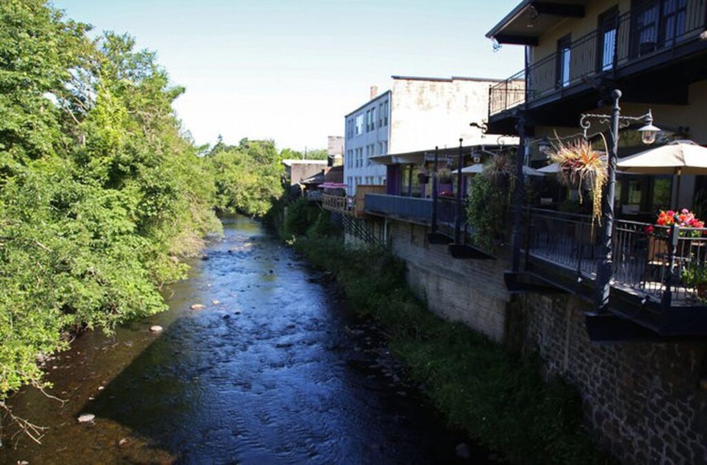
11. Silverton’s elevation is between 200 and 250 feet (61 and 76 m) above mean sea level with the steep-sided, heavily-wooded Waldo Hills to the south rising an additional 200 feet (61 m).
12. The agricultural richness of the environs is due to massive and repeated floods from prehistoric Lake Missoula in western Montana.
13. Until the mid-19th century, the Silverton area was a broad, open grassland with small stands of Oregon white oak, ponderosa pine and Douglas fir. Stands of Oregon white oak, red alder, big leaf maple, and black cottonwood lined streams and river banks. While these tree species are extant today, widespread farming in the Willamette Valley between 1850 and 1870 altered the land through the discontinuation of widespread seasonal burning in the valley plains previously employed by the Kalapuya people.
14. Large stands of Douglas fir and western red cedar, mixed with Oregon white oak, remain in the Silverton area, especially on eastern ridge tops and on the slopes of the Waldo Hills to the south. Due to decades of intensive timber extraction, mature second- and third-growth trees comprise existing evergreen stands.
15. According to the United States Census Bureau, the city has a total area of 3.47 square miles (8.99 km2), of which 3.43 square miles (8.88 km2) is land and 0.04 square miles (0.10 km2) is water.
16. Silverton is the population core of the Silver Falls School District, which, in addition to Silverton, serves nearby Scotts Mills in as well as communities in the surrounding foothills up to Silver Falls State Park. Currently there are twelve elementary schools in the district, and the campus of Silverton High School on Pine Street, which was completed in 2009.
17. Voters passed a bond levy in 1994 for construction of a new high school to be completed in two phases.
18. The first phase of the new high school was completed in 1997, with a capacity for 500 students. The second phase was not completed until the summer of 2009, after voters passed a new bond levy in November 2006. In autumn 2009, students at the high school’s old campus moved into the new campus at 802 Schlador Street.
19. As of October 2014, the School District was seeking proposals from architectural firms for completion of the Middle School Schlador Campus Reconstruction in Silverton.
20. Silverton is the gateway to Silver Falls State Park, Oregon’s largest state park. Town Square Park in downtown is a small park with a footbridge crossing Silverton Creek and a war memorial.
21. The Oregon Garden, an 80-acre (32 ha) botanical park, is in Silverton.
22. Gordon House, located on the grounds of Silverton’s Oregon Garden, is the only house in the Pacific Northwest designed by Frank Lloyd Wright which is open to the public. Gordon House was one of the last of Lloyd Wright’s famed Usonian designs.
23. Silverton has a number of outsized murals, including Norman Rockwell’s The Four Freedoms originally painted on the side of a building located at 402 Main Street in Silverton, and visible from Second Street[36] In 2015, the original building was razed and, after abandoning hopes to salvage them, the murals were destroyed during demolition. However, community efforts replaced them with a new replica at 990 N. First St.
24. Every August, the Homer Davenport Community Festival celebrates Silverton’s most famous citizen—writer, political cartoonist, and Arabian horse breeder Homer Davenport (1867–1912)—with exhibits, entertainment, an arts and crafts fair, rides, races, contests, a cartooning competition, a party, and a parade.
25. Saturday’s Farmers Market showcases the produce and wares of local farmers and artisans.

