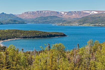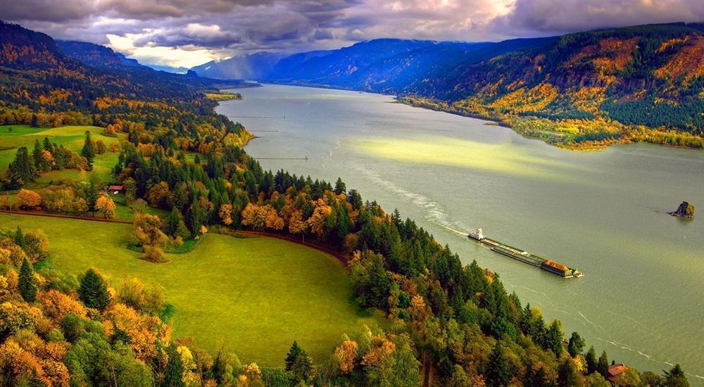
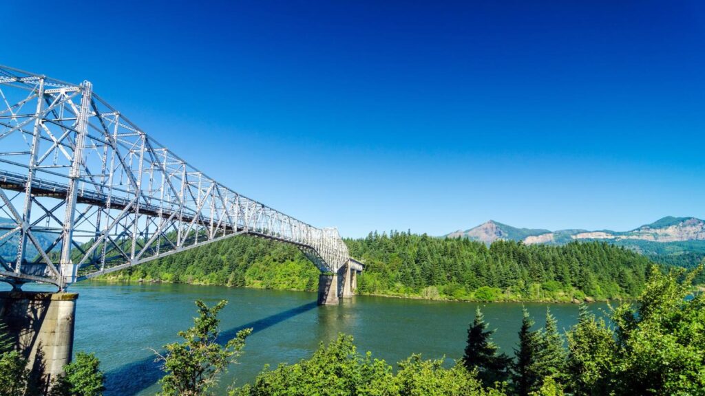
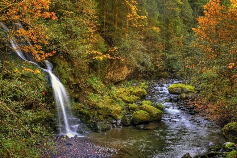
Stevenson is a city in the Columbia River Gorge National Scenic Area along the Columbia River in Skamania County, Washington, United States. Take a look below for 15 fun and interesting facts about Stevenson, Washington, United States.
1. The population was 1,465 at the 2010 census, a 22% increase over 2000.
2. It is the county seat of Skamania County and home to the Skamania County Court House and Sheriff’s Office.
3. Stevenson is home to the Columbia Gorge Interpretive Center, which focuses on several tribes that were once located near the Columbia River.
4. Stevenson is named for early settler George H. Stevenson.
5. The Stevenson family, who settled in the Gorge in the 1800s from Missouri, founded the town of Stevenson on the old Shepard donation land claim.
6. Under the auspices of the Stevenson Land Company, George Stevenson purchased the original townsite for $24,000 in 1893, building the town along the lower flat near the river.
7. Settlers expanded the original dock to serve the daily arrivals of sternwheelers unloading passengers, cargo and loading logs.
8. In 1893, in a dispute over rental fees, an unknown crew transported the county records from the town of Cascades to Stevenson.
9. Stevenson became the county seat of Skamania overnight.
10. Stevenson was officially incorporated on December 16, 1907.
11. In 1908 the Spokane, Portland & Seattle Railroad arrived, pushing the town up the hill away from the river.
12. Streets were graded, wooden sidewalks constructed and the city asked residents to keep their cows from roaming the streets.
13. Stevenson is located at 45°41′46″N 121°53′18″W (45.696203, −121.888424).
14. According to the United States Census Bureau, the city has a total area of 1.79 square miles (4.64 km2), of which 1.65 square miles (4.27 km2) is land and 0.14 square miles (0.36 km2) is water.
15. At the 2010 census there were 1,465 people in 640 households, including 390 families, in the city. The population density was 887.9 inhabitants per square mile (342.8/km2). There were 703 housing units at an average density of 426.1 per square mile (164.5/km2). The racial makeup of the city was 93.9% White, 0.6% African American, 1.8% Native American, 0.5% Asian, 0.1% Pacific Islander, 0.5% from other races, and 2.6% from two or more races. Hispanic or Latino of any race were 5.8%.