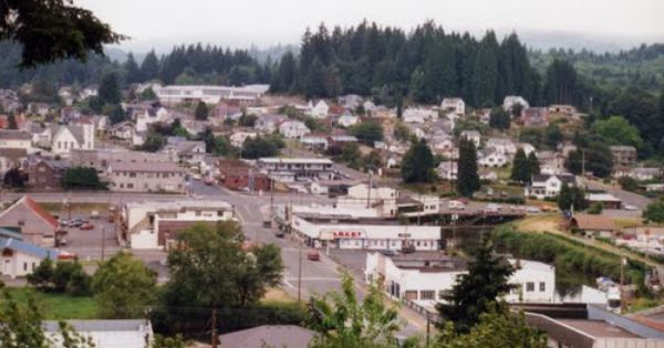
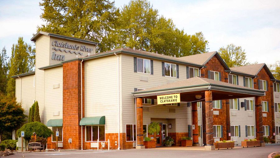
Clatskanie is a city in Columbia County, Oregon, United States. Take a look below for 15 awesome and fun facts about Clatskanie, Oregon, United States.
1. It was named for the Clatskanie River, which empties into the Columbia River within the city limits.
2. The population was 1,737 at the 2010 census.
3. According to some reports, the original name of this town when it was platted in 1884, was Bryantville.
4. However, the post office in this location is shown as Clatskanie as early as December 1871.
5. Clatskanie comes from a Native American word, Tlatskani.
6. According to the Clatsop County pioneer Silas B. Smith, Tlatskani was a point in the Nehalem River that was reached from the Columbia River by way of the Youngs River or by way of the Clatskanie River.
7. The native inhabitants, who were not in the habit of naming streams, did not use the word Tlatskani for the streams they would follow in order to get to that point, but the white men who settled here later did apply the name to the streams.
8. Many of Clatskanie’s inhabitants are of Nordic heritage, specifically Finnish, Swedish, and Norwegian.
9. According to the United States Census Bureau, the city has a total area of 1.19 square miles (3.08 km2), all of it land.
10. According to the Köppen Climate Classification system, Clatskanie has a warm-summer Mediterranean climate, abbreviated “Csb” on climate maps.
11. Clatskanie is served by the two public schools of Clatskanie School District, namely the combined Clatskanie Middle/High School, and Clatskanie Elementary School, as well as Piercing Arrow Private School.
12. Clatskanie has generally voted Republican in recent years in presidential elections, with the notable exception being Barack Obama in 2008.
13. As of the census of 2010, there were 1,737 people, 729 households, and 469 families living in the city. The population density was 1,459.7 inhabitants per square mile (563.6/km2). There were 806 housing units at an average density of 677.3 per square mile (261.5/km2).
14. The racial makeup of the city was 92.9% White, 0.4% African American, 2.0% Native American, 0.5% Asian, 0.1% Pacific Islander, 0.9% from other races, and 3.3% from two or more races. Hispanic or Latino of any race were 3.7% of the population.
15. There were 729 households, of which 32.4% had children under the age of 18 living with them, 46.8% were married couples living together, 12.1% had a female householder with no husband present, 5.5% had a male householder with no wife present, and 35.7% were non-families. 30.9% of all households were made up of individuals, and 16.3% had someone living alone who was 65 years of age or older. The average household size was 2.36 and the average family size was 2.91.