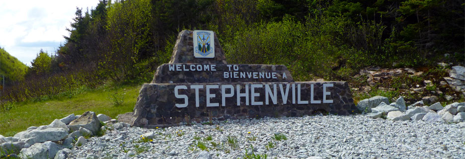
Stephenville is a town in Newfoundland and Labrador, Canada, on the west coast of the island of Newfoundland. Take a look below for 30 fun and interesting facts about Stephenville, Newfoundland and Labrador, Canada.
1. The town functions as a local service centre for the southwestern part of the island, serving a direct population of 35,000 people from surrounding areas and over 100,000 people along the entire southwestern coast of the island.
2. The primary employer in the town was a paper mill, which closed in 2005.
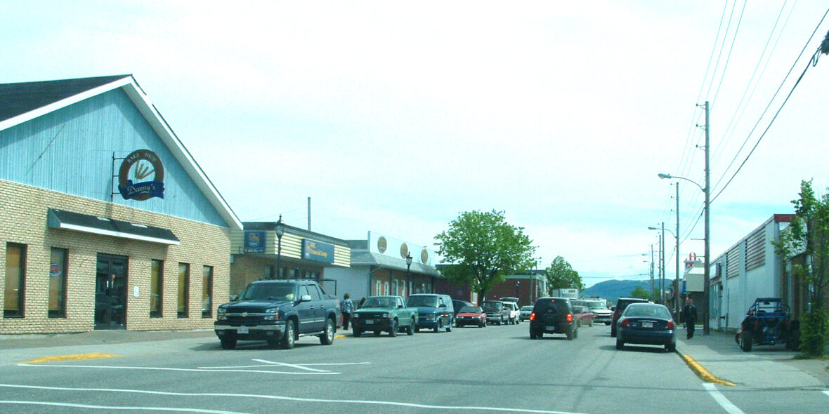
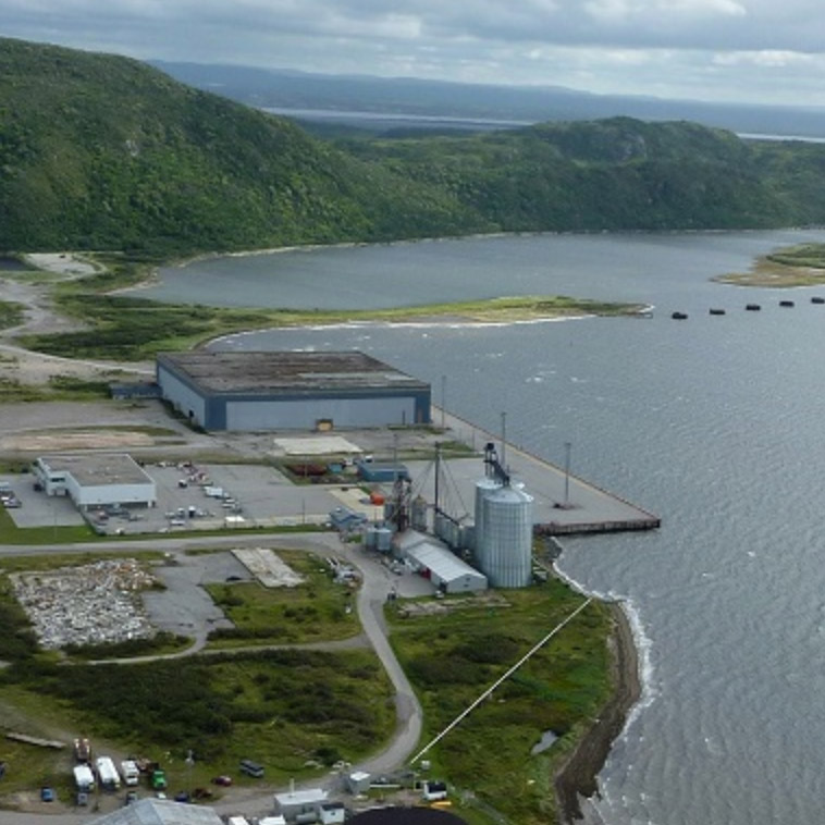
3. Stephenville has a modern 40-bed hospital (built in 2003), schools, stores, movie theater, banks, and International Airport (Stephenville International Airport, CYJT), year round ice free sea port (Port Harmon), and government institutions.
4. The provincial community college system, College of the North Atlantic, is headquartered in Stephenville and maintains a campus there for students from the southwestern region of the island.
5. A provincial minimum security jail is also located in the town.
6. The Ernest Harmon Air Force Base was formerly known as the Acadian village, between 1848 and 1870.
7. The populace of the village consisted of Roman Catholics who eked out a living, farming and fishing.
8. The town’s population continued to grow because of the stable economy. It was also formerly home to Ernest Harmon AFB, which was operated by the United States Army Air Forces and later the United States Air Force from 1941 to 1966.
9. The base precipitated an economic boom of sorts on Newfoundland’s southwest coast during the 1940s. Corner Brook to the northeast had been considered the major population center for the region, given its industrial base and nearby recreational opportunities in the Humber River.
10. With the massive investment of the Government of the United States in the base, the Stephenville and St. George’s Bay area began to flourish.
11. The village of Stephenville grew from a hamlet of several hundred people with no paved streets, sidewalks, water or sewage system in 1941 into a modern town of over 5,000 by the mid-1950s. By the time Ernest Harmon AFB closed in 1966, the town had more than doubled in size, partly as a result of the provincial government’s forced resettlement policy toward residents of outports.
12. After the base was closed, the facility was turned over to the federal government which then provided it to the provincial government to diversify the local community.
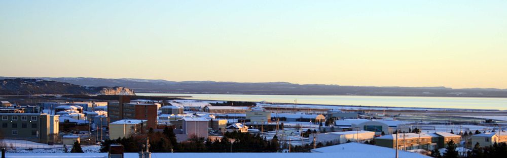
13. The facility included the air field, which has two runways (10,000 ft x 200 ft, 4,000 ft x 150 ft) and numerous buildings which are operated as the Stephenville International Airport.
14. An abandoned USAF Pinetree Line radar site is located on nearby Table Mountain, north of the town. The town uses many former USAF structures for housing, recreation and entertainment.
15. In 2005, Abitibi closed the town’s pulp and paper mill. At the time of closure the mill had approximately 300 full-time and part-time employees.
16. The Stephenville International Airport, formerly Ernest Harmon AFB, serves a small portion of the west coast of the island; weekly summer air service is offered to Toronto Pearson with Sunwing Airlines, twice weekly international flights are offered to Saint-Pierre et Miquelon, France, in February, June and August with Air Saint Pierre, weekly flights to Halifax, with Porter Airlines operating from April to January connecting to its network in Canada and the U.S.
17. Daily intraprovincial bus service connecting to major population centres and ferry terminals across the island is provided by DRL Coachlines.
18. Dedicated bus service between Stephenville and Corner Brook is provided by Eddy’s Bus Services. Dedicated bus service between Stephenville and Port aux Basques is provided by Gateway Bus Service.
19. Three taxi companies serve the town: Crown Taxi, Blue Bird Taxi, and United Class Cabs.
20. The town is located 15 kilometres northwest of the Trans-Canada Highway, and is accessible using Provincial Highway Routes 490 and 460.
21. Rail service to the town, as well as all of Newfoundland, was discontinued by Terra Transport in 1988.
22. The density of the town core, and its flat topography, permit residents to enjoy outdoor activities such as walking, bicycling, roller blading, and cross-country skiing.
23. The first educational institution in the Bay St. George area was the Roman Catholic Church. Bishop John T. Mullock established the first church of the Roman Catholic faith at Sandy Point in 1848 when the population of the area was about 2000. Father Belenger was the first priest in the St. Georges Bay area from 1850 to 1868. Father Sears, then priest in the area, established a church in the growing town of Stephenville. In 1884 there were four Catholic schools in the parish, one at Sandy Point, one at the Highlands, one at Port aux Basques and one at Campbell’s Creek.
24. Today, Stephenville is served by 4 schools: Stephenville Primary, Stephenville Elementary and Stephenville Middle Schools, which are feeder schools for Stephenville High School, SHS also takes in students from St. Thomas Aquinas School in Port-au-Port East.
25. Stephenville is also home to the Bay St. George campus of College of the North Atlantic (CNA) which is Newfoundland and Labrador’s public college system. The provincial Headquarters for CNA is also located in the D.S.B Fowlow Building of the campus.
26. Western College is also located in Stephenville. Formerly known as CompuCollege, the Western College is an affiliate of Eastern College.
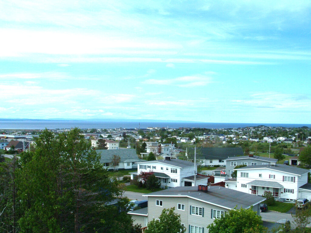
27. The town is located on the northeast coast of Bay St. George in southwestern Newfoundland, and on the Atlantic Ocean. It is situated on a small plateau and surrounded by the Long Range Mountains and Lewis Hills on either side. The downtown area lies to the north of the Stephenville International Airport, and the rest of the town expands primarily to the northwest.
28. The town is bisected by Blanche Brook, a small river which runs roughly north to south before meeting Warm Brook, which flows roughly east to west, before both empty in Bay St. George. The original town of Stephenville is situated on the west side of the brook while the east side consists of the area which was once part of Ernest Harmon Air Force Base.
29. There are 4 bridges which span Blanche Brook: Hansen Highway Bridge, Blanche Brook Bridge (Main Street), Columbus Bridge (Minnesota Drive) and the newest West Street Bridge built after the 2005 flood. 3 smaller bridges span Warm Brook, located at: Mississippi Drive, Carolina Avenue and Connecticut Drive. Another waterway, Gaudon’s Brook, forms the western border with Kippens.
30. The brooks have been used to create a greenbelt/park area that extends through the centre of town, including Blanche Brook Park which was constructed following the destruction of a neighbourhood which formerly occupied the same space.