Sheridan is a city in Yamhill County, Oregon, United States. Take a look below for 25 awesome and interesting facts about Sheridan, Oregon, United States.
1. Platted in the 1860s when it received a post office, the city was incorporated in 1880.
2. A major fire burned much of the city in 1913, and a flood covered much of the city in 1964.
3. The population of the city as of the 2010 Census was 6,127, an increase from 3,570 at the 2000 census.
4. However, the 2000 Census count failed to include those incarcerated at the federal prison in the city, while the newer count did include those inmates.
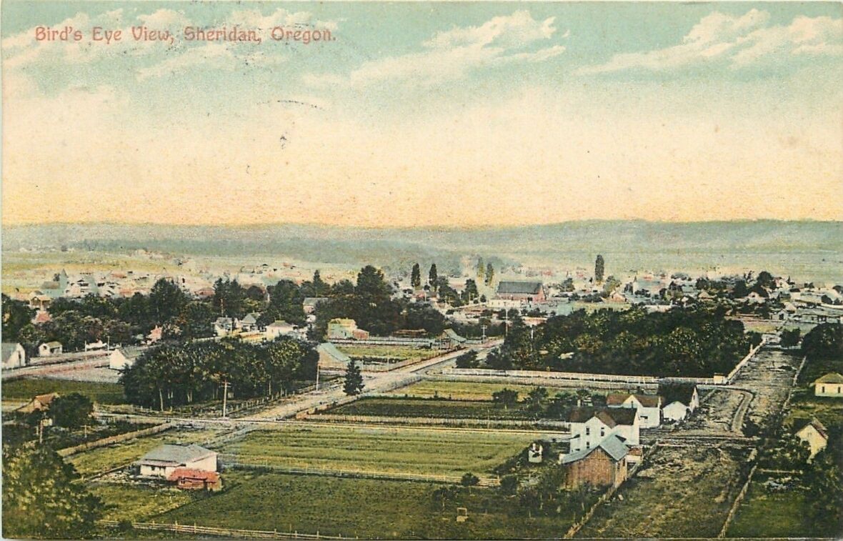
5. Located in the western part of the Willamette Valley, the city is at the base of the Northern Oregon Coast Range along the South Yamhill River.
6. Sheridan lies west of the county seat of McMinnville, along Oregon Route 18.
7. This highway and Oregon Route 18 Business run east–west through Sheridan and nearby Willamina, parallel to the river.
8. Sheridan Bridge is the only river crossing within Sheridan.
9. This farming and timber community’s largest employer is Federal Correctional Institution, Sheridan, a federal minimum and medium security prison.
10. The city has a mayor-council form of government, with daily operations run by a city manager.
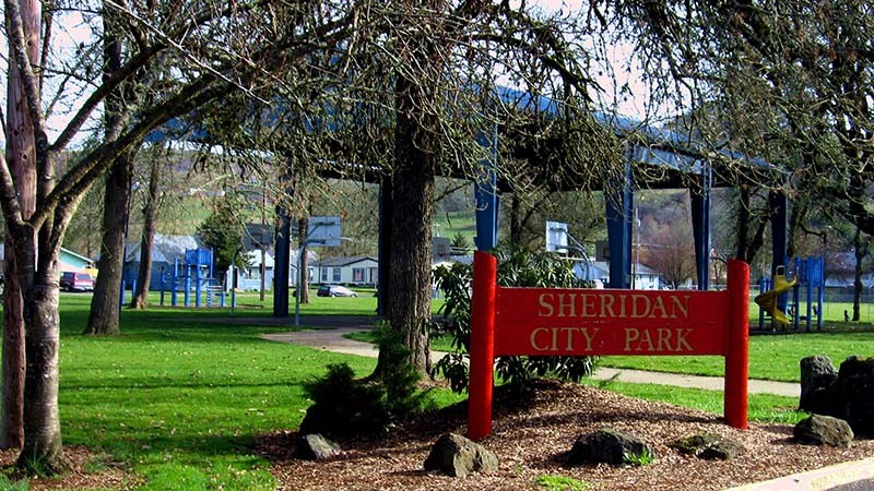
11. The community has its own school district, with a single traditional high school.
12. The main events each year in town are Sheridan Days and the Mud Drags, both held in June.
13. Sheridan was named in honor of the American Civil War general Philip Henry Sheridan.
14. Absolem B. Faulconer laid out the plat for what became the city of Sheridan in the mid-1860s. This plat was recorded with the county on December 13, 1866.
15. He had settled in the area in 1847. The Sheridan post office was established on April 4, 1866, with Absolem’s brother Thomas serving as postmaster.
16. By 1871 the town had grown to include two blacksmith shops, one church, one school, one hotel, one wagon shop, and two general stores. In October 1878, the Dayton, Sheridan and Grande Ronde Railroad, a narrow gauge railway, reached the community.
17. The city, a timber and farming community southwest of Portland and northwest of Salem, was incorporated in 1880. Sheridan was named for General Philip Sheridan, who was posted to Yamhill County and Fort Yamhill in the latter half of the 1850s to monitor the Native Americans at what is now the Grand Ronde Reservation west of the city.
18. By 1894, the city had grown to 400 residents, one bank, two hotels, three churches, and a flouring mill. At that time there was a daily train to the city as well as daily stage coach service from McMinnville, and a single wooden bridge over the river.
19. Agriculture was the main industry in the city’s early years. Around 1910, the main crops included hops, clover-seed, hay, potatoes, onions, and a variety of fruits including apples, prunes, and pears. In March 1910, 150 workers at a lumber yard owned by the Sheridan Lumber Company went on strike for higher wages. The strike was supported by Portland members of the Industrial Workers of the World who picketed employment agencies in Portland to prevent the company from hiring strikebreakers.
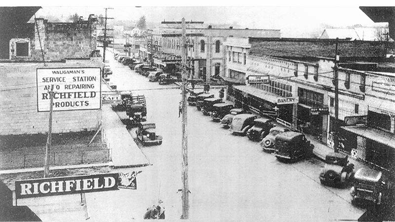
20. The action was successful and the workers won a pay increase of twenty-five cents per day, equivalent to $6.94 in 2020. On July 18, 1913, a fire that destroyed most of the commercial district caused $300,000 in damage. Most of the buildings were rebuilt with brick within six months.
21. On October 30, 1930, the Jesuits purchased an 891-acre (361 ha) farm on a hill overlooking the city. There they started St. Francis Xavier’s Novitiate, a school for training priests for the order. Opening in a new building and several existing farm buildings in 1931, St. Francis Xavier’s added more buildings over the next several decades.
22. In 1932, the state built a highway through Sheridan from McMinnville to the Oregon Coast, which became Oregon Route 18 or the Salmon River Highway. With funds received through the Works Progress Administration, the current steel bridge across the South Yamhill River was built and opened in 1939.
23. By 1940, agriculture was still a major industry, and the timber industry was growing in importance to the local economy. At that time the city had grown to a population of 1,008 people.
24. In 1989, a federal minimum and medium security prison, Federal Correctional Institution – Sheridan, opened on the south side of the city. At that time, Sheridan had a population of around 2,500 people. Sheridan moved its city hall into the old railroad station in January 1993, and expanded the renovated building in 1995.
25. The U.S. Census Bureau erroneously listed the city’s population as 3,570 in the 2000 Census after mis-listing the prison’s population in the wrong census tract. This error of about 2000 people was enough to throw off the state legislative districts beyond their margin of acceptance and the Oregon Supreme Court ruled the Secretary of State must re-draw the boundary lines to match the correct data.