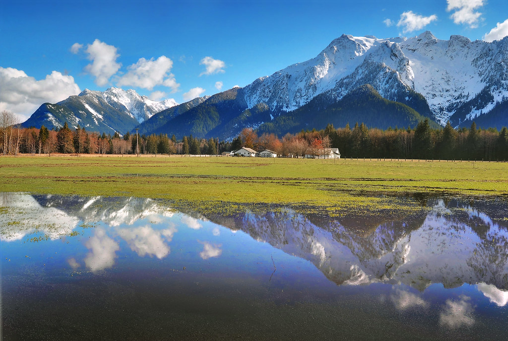
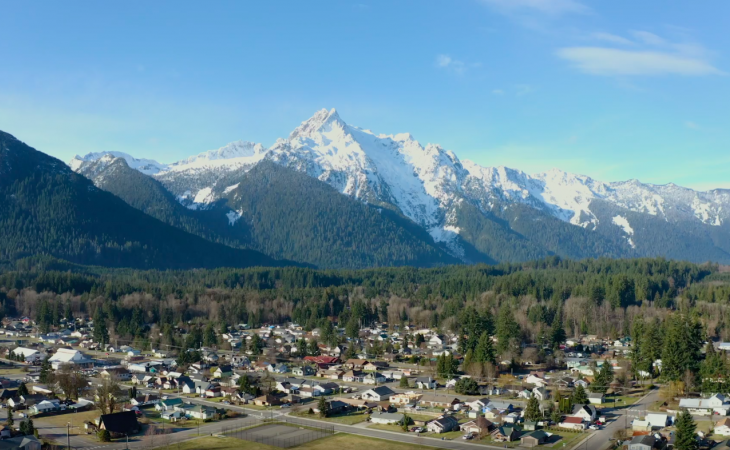
Darrington is a town in Snohomish County, Washington, United States. It is located in a North Cascades mountain valley formed by the Sauk and North Fork Stillaguamish rivers. Take a look below for 25 awesome and interesting facts about Darrington, Washington, United States.
1. Darrington is connected to nearby areas by State Route 530, which runs along the two rivers towards the city of Arlington, located 30 miles (48 km) to the west, and Rockport.
2. It had a population of 1,347 at the 2010 census.
3. Non-indigenous settlement in the area began in 1891 at the site of a Skagit campsite between the two rivers, near the traditional home of the Sauk-Suiattle tribe.
4. Prospectors had arrived in the area during the 1880s while looking for gold and other minerals, but were quickly displaced by the logging industry that would come to dominate Darrington for much of the 20th century.
5. The Northern Pacific Railway built a branch line to the town in 1901 and ushered in several years of growth.
6. During the Great Depression, Darrington hosted a Civilian Conservation Corps camp that improved roads, trails, and firefighting infrastructure in the nearby Mount Baker National Forest.
7. Several waves of Appalachian emigrants arrived in the area from North Carolina, forming a culture that is seen in the town’s annual bluegrass festival and rodeo.
8. Darrington was incorporated as a town in 1945, under a mayor–council government.
9. Its economy has transitioned away from logging and towards tourism, particularly outdoor activities such as hiking, mountain climbing, and fishing, due to its proximity to the Mount Baker–Snoqualmie National Forest.
10. The Darrington area is 554 feet (169 m) above sea level and receives significantly more precipitation and snowfall than the Puget Sound lowlands.

11. The upper Stillaguamish and Sauk valleys on the Sauk, Suiattle, and White Chuck rivers were historically inhabited by various Native American Coast Salish groups, including the Stillaguamish, the Sauk-Suiattle, and the Upper Skagit.
12. The Sauk-Suiattle maintained a village site and burial ground near modern-day Darrington, while the Skagits used the plain between the Stillaguamish and Sauk rivers as a portage for overland transport of canoes. The portage, named Kudsl Kudsl or Kuds-al-kaid, was also used as a transiting point for travelers from Eastern Washington on their way to and from the Puget Sound coast.
13. The area was known as Burn or Sauk Portage to early surveyors and visitors from towns along the Puget Sound coastline. A group of railroad surveyors for the Northern Pacific Railway arrived in modern-day Darrington in 1870 while plotting the potential route for a railroad crossing the Cascades to Lake Chelan, but ultimately chose Stampede Pass to the south.
14. The North Stillaguamish Valley was nicknamed “Starve Out” by early settlers, who arrived alone and underprepared for the area’s conditions, leading to several difficult winters.
15. Soldiers sent to the area by the valley settlers threatened to evict the Sauk-Suiattles were threatened with eviction; this did not occur as the settlers’ claim that the SAuk-Suiattle had attacked them hostile people was determined to unfounded. The tribe later hired surveyors to record their claims to the eastern side of the Sauk River, lands that currently comprise their Indian reservation.
16. The discovery of gold and other valuable minerals in the Monte Cristo area in 1889 lured prospectors into the North Cascades and stimulated the development of the surrounding valleys. A 45-mile (72 km) wagon road along the Sauk River connecting Monte Cristo to Sauk Prairie and the settlement of Sauk City on the Skagit River was built in 1891, later forming part of the modern Mountain Loop Highway.
17. It was only used for three years before being replaced by the Everett and Monte Cristo Railway to the south; until that time, the Sauk Prairie at the modern site of Darrington was an overnight camping spot for prospectors.
18. Nearby areas were explored by prospectors who made over a hundred claims to tracts of land in the highlands around the valley, including Gold Hill.
19. Darrington describes itself as a self-sufficient and tight-knit community, owing to its isolation and small population.
20. Descendants of emigrants from North Carolina, particularly the Sylva area, after World War II, shaped many of the traditions and customs in the Darrington area.

21. The term “going down below” is sometimes used among Darrington residents to refer to trips outside of the town.
22. Memorial dinners and fundraisers during funerals are hosted by its residents, typically attended by up to a fourth of the town’s population.
23. Darrington also has a strong tradition of volunteerism, which it sometimes relies on in lieu of municipal services.
24. Darrington has a community events complex and park located 3 miles (4.8 km) west of the town, which is home to several annual events, including a rodeo and a Bluegrass festival.
25. The Darrington Timberbowl Rodeo began in 1964 and typically draws over a thousand spectators during its two-day run in late June.


