Washougal is a city in Clark County, Washington, United States. The population was 14,095 as of the 2010 Census. Take a look below for 20 fun and interesting facts about Washougal, Washington, United States.
1. Washougal was officially incorporated on December 4, 1908.
2. Its Mount Pleasant Grange Hall is the oldest continually used grange hall in Washington.
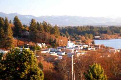
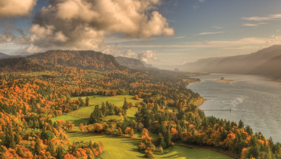
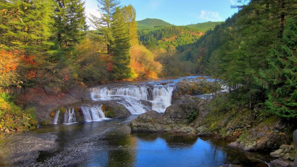
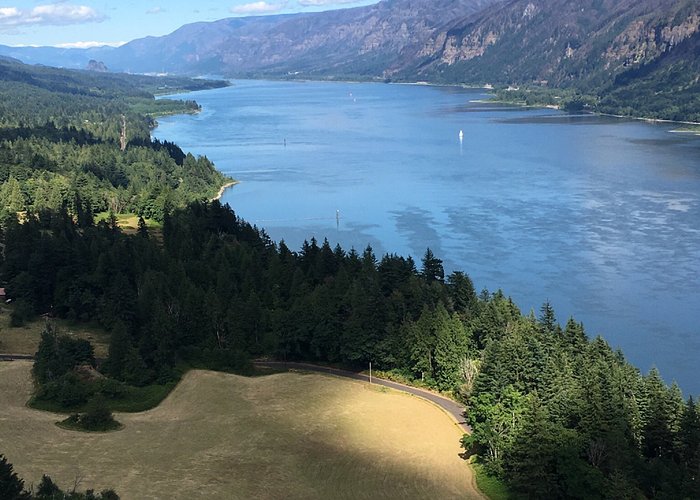
3. This small community is located on the Washington side of the Columbia River, with its lowlands and famous prairie situated on the west entrance to the scenic Columbia River Gorge.
4. Motorists who approach Washougal from the west on the Lewis & Clark Highway can see Mount Hood rising above the Cascade Mountains framed by the columnar cliffs that signal the gateway of the Gorge.
5. It is home to Excelsior High School and Washougal High School.
6. It can be accurately stated that Washougal is the “crossroads to discovery” in the Pacific Northwest.
7. Shortly after Capt. Robert Gray, a Boston fur trader, entered the mouth of the Columbia River in May 1792, the famed British explorer George Vancouver traveled to the region to verify Gray’s discovery.
8. In October 1792, Vancouver directed a young Lieutenant named William Broughton to lead a party of men in a long boat up the Columbia to explore its head waters.
9. Broughton came as far as present-day Washougal and landed near the east end of Reed Island. He named Mount Hood after a British admiral and Point Vancouver after his commanding officer.
10. Broughton incorrectly assumed the head waters of the Columbia originated from Mount Hood. In reality, the river originates some 1,000 miles (1,600 km) to the north and east in Canada, but it would be another 18 years before the entire river was charted, by another famed British explorer named David Thompson.
11. Captain Gray’s discovery of the Columbia opened trade between Europeans and Chinook Indians who lived along the lower Columbia between the Cascade region and the river’s mouth. U.S., British, Spanish and Russian fur traders bartered for sea otter and beaver skins in the late 18th century.
12. Then, another important group of explorers visited the region in 1805–1806, but this group came from the east, which marked the first cross-continental expedition. These famed explorers were Meriwether Lewis & William Clark.
13. The Corps of Discovery was impressed with the fertile valley located near Washougal.
14. In fact, when they finally reached the Pacific Coast and conducted their historic vote on selecting their winter camp site, the three viable options considered were the Clatsop area near Astoria (Oregon), the north bank near Chinook (Washington), and the fertile valley near the Sandy and Washougal Rivers. But, because the Corps had reached the Pacific in late November, they did not have much time to construct a winter fort before the cold weather set in, therefore choosing the Clatsop region because of the abundance of big game and its view of the Pacific—and they hoped to make contact with a fur trading ship to get word back to President Jefferson about the success of their mission.
15. On their return to the east, the Corps of Discovery rowed hard against the current hoping to return to the Nez Perce in early spring. The Nez Perce were caring for their horses over the winter and they needed the horses to travel over the Rocky Mountains.
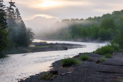
16. They arrived at Washougal on Monday, March 31, 1806. Lewis wrote in his journals that they camped on the lower end of a handsome prairie two miles up from the mouth of Seal (Washougal) River and directly across from the upper Quicksand (Sandy) River channel. By triangulating these landmarks, it places their campsite close to present day Capt. William Clark Park at Cottonwood Beach.
17. The Corps would eventually camp at this location for six days in order to kill big game, dry the meat, and sew leather sacks in which to store the meat. Natives descending the river told them of scarcity in provisions (food sources) east of the Cascades. So the handsome prairie in present-day Washougal turned into a provisioning camp which became their second longest campsite in present-day Washington State.
18. So within a 13-year period Washougal would have famous travelers visit its banks from both the east and west—again in 1811 another famed explorer (David Thompson) would camp near the same “handsome prairie” on his famous journey to chart the entire length of the Columbia River.
19. Washougal was founded on part of the Oughs’ original claim. Among Washougal’s first and foremost citizens, the Oughs were generous with food and money. The Oughs had ten children in all, Sarah, Grace, Richard, Benjamin, Elizabeth, Mary, Fredrick, Cecelia, Emma, and John Thomas. Both Richard and Betsy Ough lived long and fulfilling lives, eventually owning a dairy dying at the ages 90 and 96, respectively.
20. Both are buried in the local Catholic Cemetery and they have descendants who still live in Washougal. Personal belongings of the Ough’s—including clothing and Indian artifacts—can be found in the Two Rivers Heritage Museum in Washougal.