Westport is a city in Grays Harbor County, Washington, United States. It had a population of 2,099 at the 2010 census. Take a look below for 17 fun and fascinating facts about Westport, Washington, United States.
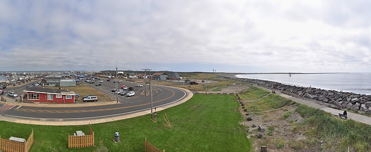
1. Westport is located on a peninsula on the south side of the entrance to Grays Harbor from the Pacific Ocean.
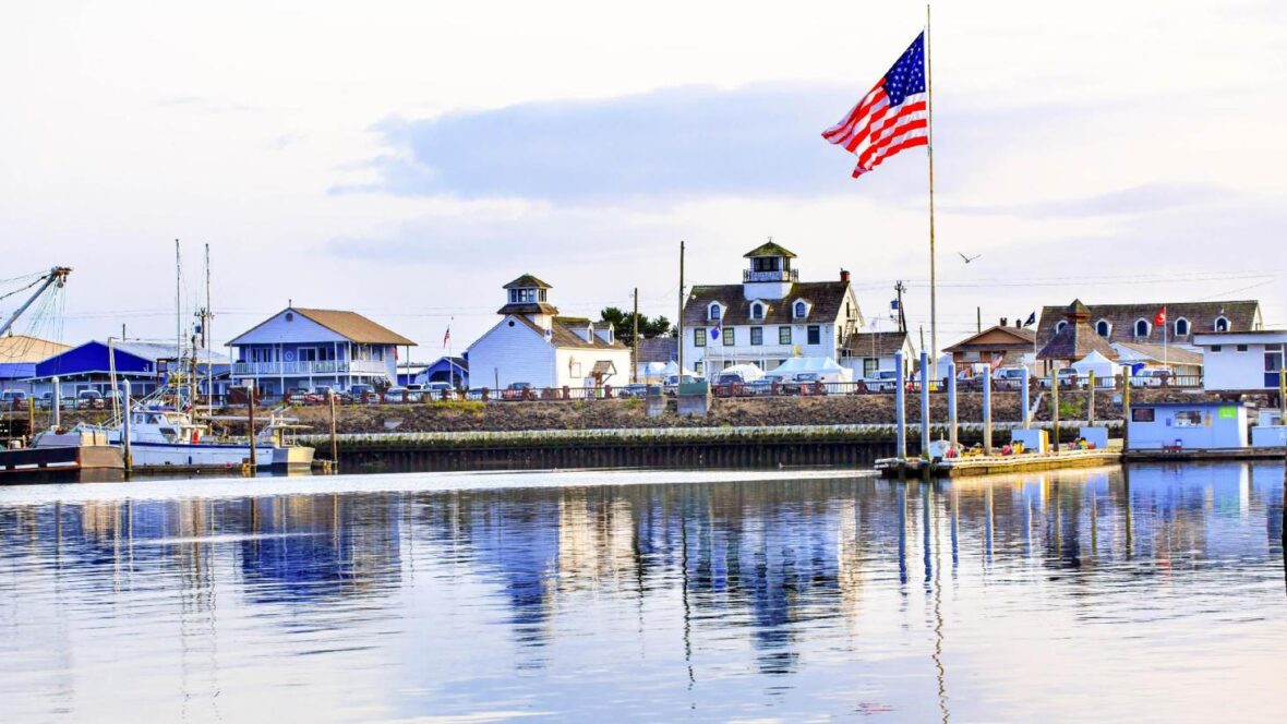
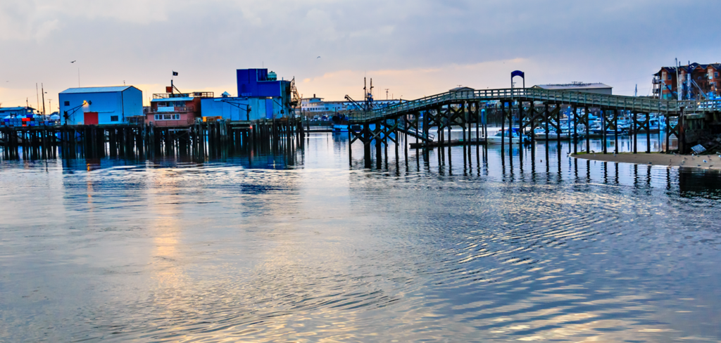
2. The public Westport Marina is the largest marina on the outer coast of the United States’s Pacific Northwest.
3. The marina is home to a large commercial fishing fleet and several recreational charter fishing vessels.
4. A summer-only passenger ferry, discontinued in 2008, previously connected the town to Ocean Shores, across the mouth of the harbor to the north.
5. It is home to the world famous Washington Tuna Classic which happens each August.
6. Westport was officially incorporated on June 26, 1914. Names for the area in the past include Peterson’s Point, Chehalis City, and Fort Chehalis.
7. The latter name is for a U.S. Army fort established in 1860 before the town was founded, “ts-a-lis” is the Lower Chehalis word for Westport, meaning “place of sand”.
8. Early explorers pronounced the word “Chehalis” and gave this name to the river and the people living up river who later became the Chehalis people or “People of the Sands”.
9. The area was used regularly during the summer by local Native American tribes (most likely the Shoalwater Bay Tribe, comprising Willapa Chinook and Lower Chehalis people) before Thomas Barker Speake and his family arrived early in the summer of 1857.
10. Westport is also the home to a station for the US Coast Guard. In 2015, the Ocosta School District became the first to build a publicly funded vertical tsunami shelter, located at Ocosta Elementary School.
11. Westport is located at 46°53′27″N 124°6′36″W (46.890803, -124.109926).
12. It is the westernmost “Westport” in the world, the nearest competitor being in California, less than a degree east.
13. According to the United States Census Bureau, the city has a total area of 4.50 square miles (11.65 km2), of which, 3.70 square miles (9.58 km2) is land and 0.80 square miles (2.07 km2) is water.
14. A weather station in Grayland, a community just south of Westport, has recorded conditions in the area going back to 1948.
15. The area is generally mild and wet, with November through January having especially high levels of rainfall (averaging over 10 inches or 250 millimetres for each of those months) and little or no snow.
16. At the 2010 census there were 2,099 people, 999 households, and 527 families living in the city. The population density was 567.3 inhabitants per square mile (219.0/km2). There were 1,561 housing units at an average density of 421.9 per square mile (162.9/km2). The racial makeup of the city was 87.0% White, 0.9% African American, 2.9% Native American, 1.1% Asian, 4.5% from other races, and 3.6% from two or more races. Hispanic or Latino of any race were 7.3%.
17. Of the 999 households 21.6% had children under the age of 18 living with them, 37.4% were married couples living together, 9.9% had a female householder with no husband present, 5.4% had a male householder with no wife present, and 47.2% were non-families. 38.2% of households were one person and 16.2% were one person aged 65 or older. The average household size was 2.10 and the average family size was 2.72.