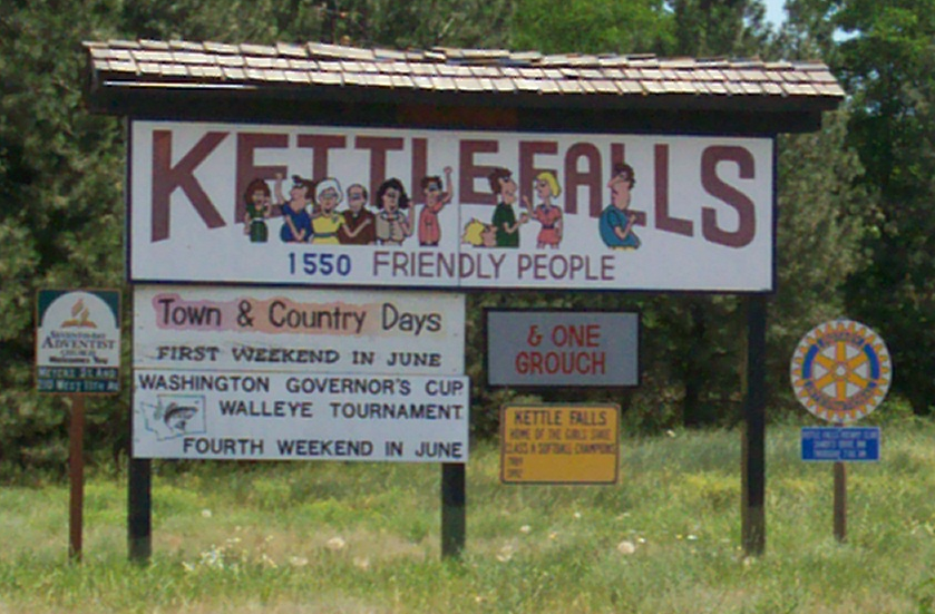
Kettle Falls is a city in Stevens County, Washington, United States, named for the nearby Kettle Falls on the Columbia River. Take a look below for 15 interesting and fun facts about Kettle Falls, Washington, United States.
1. The population of the city was 1,595 at the 2010 census a 4.5% increase over the 2000 census.
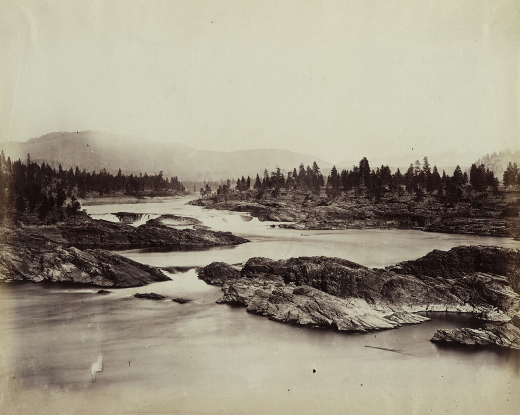
2. The original Kettle Falls was officially incorporated on December 17, 1891 on the bank of the Columbia.
3. After it was flooded by the Grand Coulee Dam in 1940, city planners relocated the town at a community called Meyers Falls, near the railroad lines, helping to ensure its success as a trans-shipment point for the logging, agriculture, and paper industries.
4. This is its present location, eight miles northwest of Colville and roughly 80 miles northwest of Spokane.
5. It is 30 miles (48 km) south of the Canada–US border at Laurier and adjacent to Lake Roosevelt, the reservoir of the Columbia River.
6. According to the United States Census Bureau, the city has a total area of 1.07 square miles (2.77 km2), all land.
7. As of the census of 2010, there were 1,595 people, 676 households, and 419 families living in the city. The population density was 1,490.7 inhabitants per square mile (575.6/km2).
8. There were 726 housing units at an average density of 678.5 per square mile (262.0/km2).
9. The racial makeup of the city was 90.9% White, 0.1% African American, 2.0% Native American, 0.4% Asian, 0.1% Pacific Islander, 0.6% from other races, and 5.9% from two or more races. Hispanic or Latino of any race were 1.7% of the population.
10. There were 676 households, of which 31.2% had children under the age of 18 living with them, 44.7% were married couples living together, 12.3% had a female householder with no husband/wife present, 5.0% had a male householder with no wife/husband present, and 38.0% were non-families. 31.7% of all households were made up of individuals, and 13.8% had someone living alone who was 65 years of age or older.
11. The average household size was 2.35 and the average family size was 2.95.
12. The median age in the city was 38.6 years. 26.6% of residents were under the age of 18; 7.6% were between the ages of 18 and 24; 23.9% were from 25 to 44; 25.4% were from 45 to 64; and 16.3% were 65 years of age or older.
13. The gender makeup of the city was 47.6% male and 52.4% female.
14. As of the census of 2000, there were 1,527 people, 632 households, and 398 families living in the city. The population density was 1,631.1 people per square mile (627.2/km2).
15. There were 686 housing units at an average density of 732.8 per square mile (281.8/km2). The racial makeup of the city was 91.29% White, 0.07% African American, 3.86% Native American, 0.20% Asian, 0.07% Pacific Islander, 0.65% from other races, and 3.86% from two or more races. Hispanic or Latino of any race were 2.75% of the population.