Ferndale is a city in Whatcom County, Washington, United States. The population was 11,415 at the 2010 census. Take a look below for 15 awesome and fascinating facts about Ferndale, Washington, United States.
1. It is the third largest city in Whatcom County and located near the Lummi Nation.
2. First settled in 1872, Ferndale was given its name because of the ferns that once grew around the original school house.
3. Ferndale was originally called Jam because the town was located next to a log jam on the Nooksack River, but the original schoolteacher decided it needed a more picturesque name.
4. Ferndale was officially incorporated on March 19, 1907.
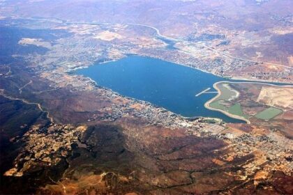
5. According to the United States Census Bureau, the city has a total area of 6.69 square miles (17.33 km2), of which, 6.61 square miles (17.12 km2) is land and 0.08 square miles (0.21 km2) is water.
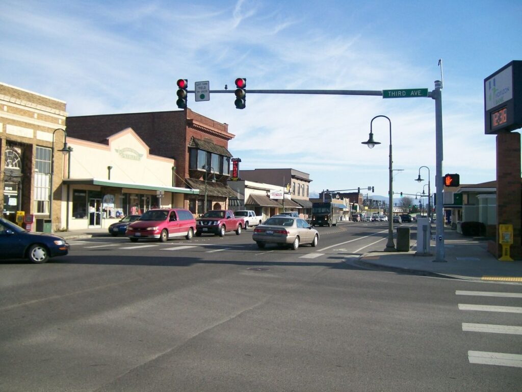
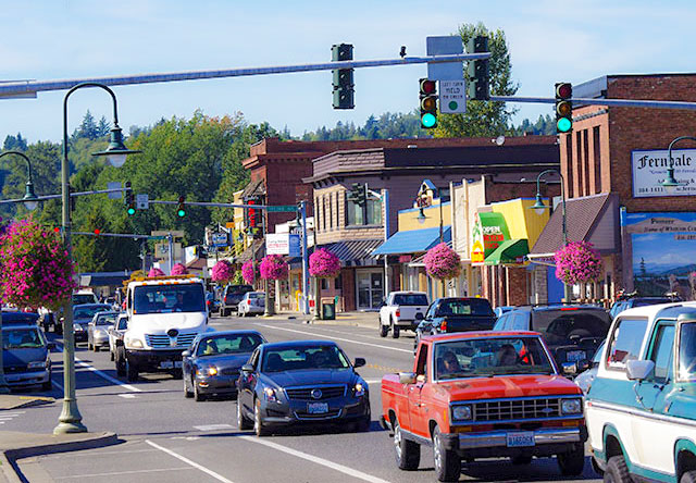
6. Downtown Ferndale is located near the river, along with Griffintown and a largely industrial area east of the Nooksack River. Northwest of these areas are suburban developments.
7. Ferndale borders Hovander Homestead Park and Tennant Lake along its southeast boundary.
8. As of 2010 the median household income in the city was $52,831, and the median income for a family was $64,638.
9. Males had a median income of $47,917 versus $37,447 for females. The per capita income for the city was $23,837.
10. About 13.3% of families and 16.8% of the population were below the poverty line, including 24.2% of those under age 18 and 7.3% of those age 65 or over.
11. As of the census of 2010, there were 11,415 people, 4,210 households, and 3,025 families residing in the city. The Washington state Office of Financial Management estimated for its April 1 annual population estimate that Ferndale had grown to 14,354 residents in 2019.
12. The population density was 1,726.9 inhabitants per square mile (666.8/km2). There were 4,428 housing units at an average density of 669.9 per square mile (258.6/km2).
13. The racial makeup of the city was 83.1% White, 1.0% African American, 2.6% Native American, 3.6% Asian, 0.2% Pacific Islander, 5.2% from other races, and 4.2% from two or more races. Hispanic or Latino of any race were 12.0% of the population.
14. There were 4,210 households, of which 40.8% had children under the age of 18 living with them, 53.7% were married couples living together, 13.6% had a female householder with no husband present, 4.6% had a male householder with no wife present, and 28.1% were non-families. 22.7% of all households were made up of individuals, and 9.5% had someone living alone who was 65 years of age or older. The average household size was 2.71 and the average family size was 3.20.
15. The median age in the city was 34.2 years. 29.1% of residents were under the age of 18; 8.6% were between the ages of 18 and 24; 27.2% were from 25 to 44; 24% were from 45 to 64; and 10.9% were 65 years of age or older. The gender makeup of the city was 48.6% male and 51.4% female.