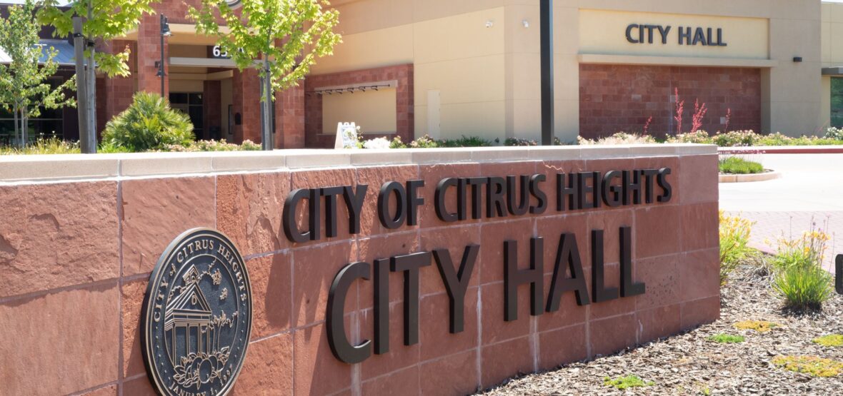
Citrus Heights is a city in Sacramento County, California. Take a look below for 10 interesting and incredible facts about Citrus Heights, California, United States.
1. As of the 2020 U.S. Census, the city had a population of 87,583, up from 83,301 at the 2010 U.S. Census.
2. Citrus Heights is part of the Sacramento–Arden-Arcade–Roseville Metropolitan Statistical Area.
3. Citrus Heights voters approved the measure to incorporate the City on November 5, 1996, effective January 1, 1997.
4. The measure won, with 62.5% of the votes.
5. According to the United States Census Bureau, the city has a total area of 14.2 square miles (37 km2), all land. The city incorporated January 2, 1997 (January 1 according to the official city website), becoming the fifth city in Sacramento County.
6. Citrus Heights has a climate that is characterized by mild winters and dry hotter summers. The area usually has a low humidity and the average temperature throughout the year is 68 Fahrenheit, with the daily average ranging from 45° in December and January to 76° in July.
7. Average daily high temperatures range from 53° in December and January to 93° in July. Average daily low temperatures range from 38° to 58°. The average year has 73 days with a high over 90°, with the highest temperature on record being 114° on July 17, 1925, and 18 days when the low drops below 32°, with the coldest one day record being December 11, 1932, at 17°.
8. Citrus Heights has a mall (Sunrise Mall) and a Wal-Mart.
9. Citrus Heights is centrally located between the region’s major freeways and highways. Interstate 80 passes through the west side of the city, and Interstate 5, U.S. Highway 50 and California State Route 99 are all located from three to 11 miles (18 km) from the city.
10. The Business 80 freeway, otherwise known as the Capital City Freeway, begins near Citrus Heights and ends in Downtown Sacramento. Sacramento International Airport is located approximately 20 miles (32 km) from the city, while rail transportation provided by Amtrak is accessible in Roseville (about 10 miles (16 km) from the city). A public bus transportation is currently provided by the Sacramento Regional Transit District.