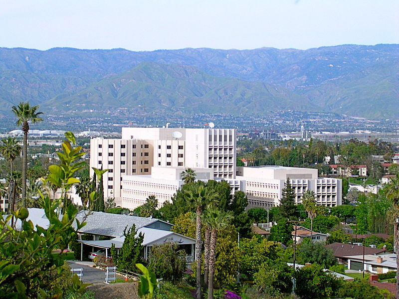
Loma Linda (Spanish for “Beautiful Hill”) is a city in San Bernardino County, California, United States, that was incorporated in 1970. Take a look below for 10 interesting and awesome facts about Loma Linda, California, United States.
1. The population was 23,261 at the 2010 census, up from 18,681 at the 2000 census.
2. The central area of the city was originally known as Mound City, while its eastern half was originally the unincorporated community of Bryn Mawr.
3. In the late 1800s, Loma Linda began as a development of tourist halls called Mound City, as encouraged by railroad companies.
4. Shops and cottages were built, but the project would later fail. During the late 1890s, a group of businessmen and physicians from Los Angeles bought the Mound City Hotel and reopened it as a convalescent home and health resort.
5. They called it Loma Linda, meaning ‘beautiful hill’ in Spanish
6. The city was incorporated in 1970.
7. In 1969, San Timoteo Creek overflowed its banks, inundating two-thirds of Loma Linda. Many of the bridges over the creek washed away, and Loma Linda Academy was completely flooded. In 2010, the creek again flooded parts of Loma Linda.
8. Loma Linda is twinned with Manipal, India, and Libertador San Martin, Argentina, as its sister cities.
9. Loma Linda is located in southwestern San Bernardino County and is considered part of the Inland Empire. It is bordered on the north by the city of San Bernardino, on the east by Redlands, on the west by Colton, and on the south by Riverside County. An area of unincorporated territory in Riverside County separates Loma Linda from the city of Moreno Valley to the south. The remnants of Bryn Mawr, an unincorporated community formerly located between Loma Linda and Redlands, were annexed by the city in 2008.
10. Loma Linda is in the southern San Bernardino Valley. The southern third of the city is known as the South Hills; this rugged and hilly area at the northwestern end of the Badlands is a city-owned open space reserve protected by a local initiative. San Timoteo Creek flows from southeast to northwest through the city.