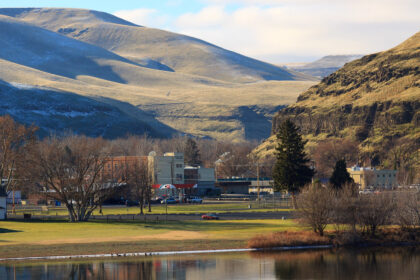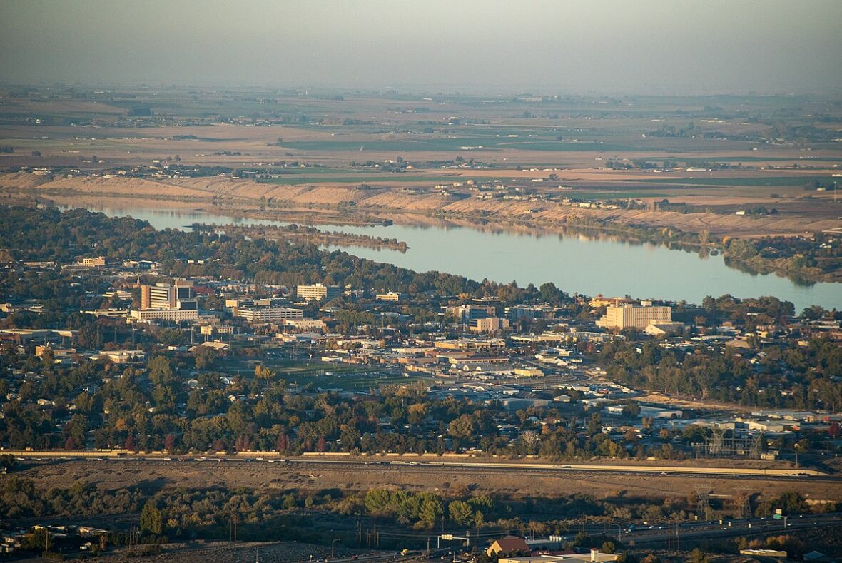
Richland is a city in Baker County, Oregon, United States. Take a look below for 10 fun and amazing facts about Richland, Oregon, United States.
1. The population was 156 at the 2010 census.
2. Richland was platted in 1897 and replaced New Bridge as the primary rural service center in the area.
3. Richland is along Oregon Route 86 between Baker City and Oxbow on the Oregon–Idaho border.
4. According to the United States Census Bureau, the city has a total area of 0.08 square miles (0.21 km2), all of it land.
5. According to the Köppen Climate Classification system, Richland has a dry, hot summer humid continental climate, abbreviated “Dsa” on climate maps.
6. As of the census of 2010, there were 156 people, 93 households, and 46 families living in the city. The population density was 1,950.0 inhabitants per square mile (752.9/km2).
7. There were 116 housing units at an average density of 1,450.0 per square mile (559.8/km2). The racial makeup of the city was 94.9% White, 1.3% African American, 1.3% Native American, and 2.6% from two or more races. No people from Richland reported as Asian or Hispanic or Latino of any race.
8. There were 93 households, of which 2.2% had children under the age of 18 living with them, 48.4% were married couples living together, 1.1% had a female householder with no husband present, and 50.5% were non-families. 38.7% of all households were made up of individuals, and 23.6% had someone living alone who was 65 years of age or older.
9. The average household size was 1.68 and the average family size was 2.11.
10. The median age in the city was 64.4 years. 1.9% of residents were under the age of 18; 2.4% were between the ages of 18 and 24; 7% were from 25 to 44; 40.4% were from 45 to 64; and 48.1% were 65 years of age or older. The gender makeup of the city was 50.6% male and 49.4% female.