Inverness County is a county in the Canadian province of Nova Scotia. Its territory is almost contiguous with the Municipality of Inverness County but excludes the town of Port Hawkesbury and Miꞌkmaq reserves. Take a look below for 21 amazing and fun facts about Inverness, Nova Scotia, Canada.
1. Established as the County of Juste au Corps in 1835, Inverness County was given its present name in 1837.
2. It was named after Sir Cameron Inverness of Scotland, the land from which many of the early settlers came.
3. Agriculture and fishing dominated the economy with exports of butter and cattle to Newfoundland and Halifax for most of the nineteenth century.
4. The construction of the Inverness and Richmond Railway in 1901, and the subsequent opening of coal mines at Port Hood, Mabou, and Inverness, created the “only home market” local farmers had ever had.
5. The boundaries of Inverness County had been previously defined when Cape Breton Island was divided by statute into three districts in 1823.
6. In 1996, the county was amalgamated into a single municipality with the exception of Port Hawkesbury.
7. Inverness County was established within the boundaries of the Northwestern District of Cape Breton Island.
8. As a census division in the 2016 Census of Population conducted by Statistics Canada, Inverness County recorded a population of 17,235 living in 7,351 of its 9,876 total private dwellings, a change of -4% from its 2011 population of 17,947.
9. With a land area of 3,831.17 km2 (1,479.22 sq mi), it had a population density of 4.5/km2 (11.7/sq mi) in 2016.
10. Forming the majority of the Inverness County census division, the Municipality of the County of Inverness recorded a population of 13,190 living in 5,740 of its 8,052 total private dwellings in the 2016 Census of Population, a change of -4.3% from its 2011 population of 13,781.
11. With a land area of 3,815.59 km2 (1,473.21 sq mi), it had a population density of 3.5/km2 (9.0/sq mi) in 2016.
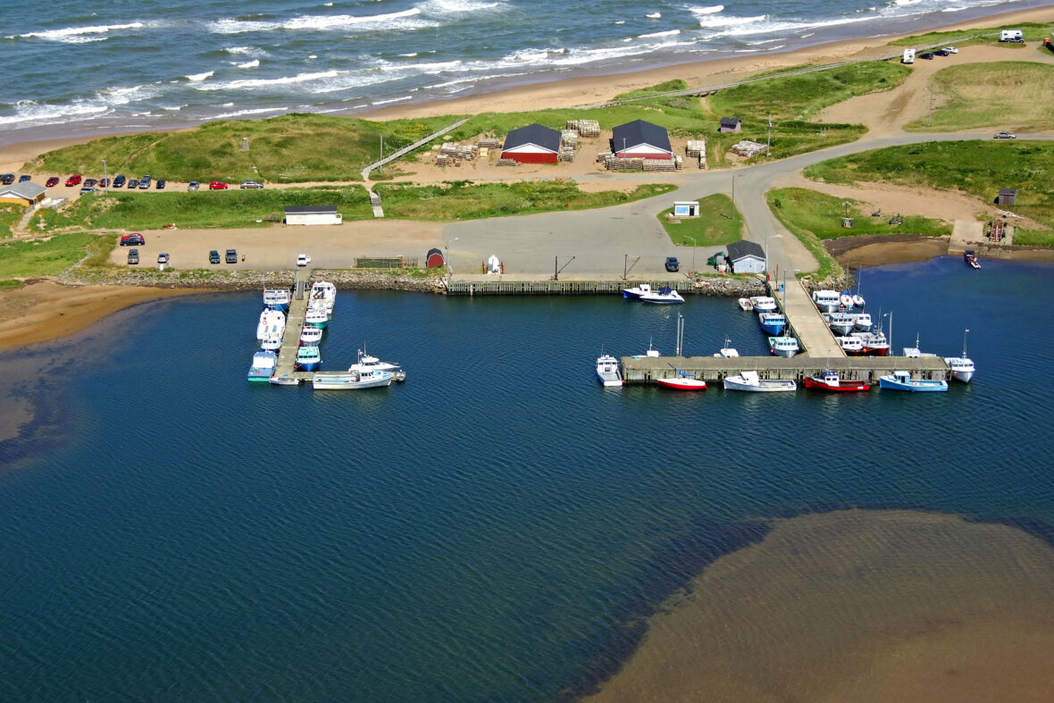
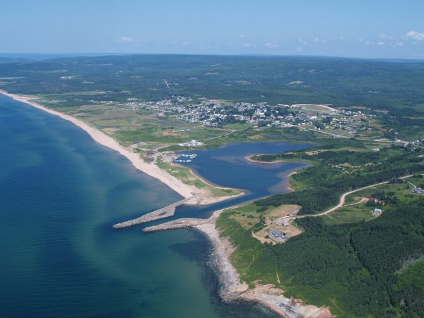
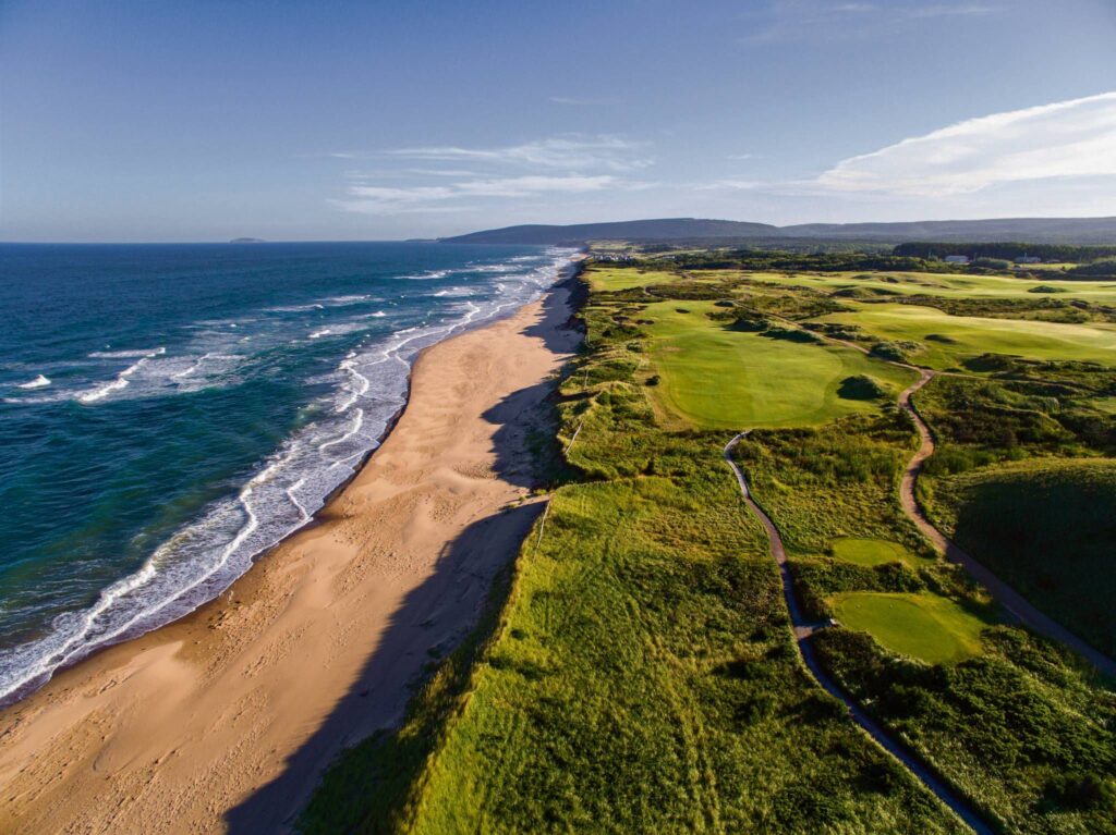
12. Located on the west coast of Cape Breton Island fronting the Gulf of St. Lawrence, Inverness sits astride a small coal seam which was exploited from the late 19th century to the mid-late 20th century, beginning with a mine opened by William Penn Hussey of Massachusetts.
13. Before Hussey industrialized the coal operations of the town it was exploited by the locals, but without means to export the coal it was never mined in earnest.
14. Hussey was able to secure financial backing from European investors and soon dredged a portion of the sand dunes to connect MacIsaac’s Pond to the Gulf of St. Lawrence.
15. He had some piers and wharves built, laid a small railway and was able to ship coal to export markets.
16. Hussey’s operations were profitable but ten years later his infrastructure fell into disrepair and he sold off his interests.
17. Immediately following Hussey’s departure the town entered the era of William Mackenzie and Donald Mann during the 1890s. These two (whom local streets are named after) were able to lobby the Government in order to fund a railway project from Port Hawkesbury to Inverness.
18. As a result of this endeavor they were able to open several more mines in and near Inverness during the early 20th century.
19. These were shaft mines and extended from the area between the town and the beach out under the ocean in some cases.
20. As a result of this boom the town’s population soared to over 3,000 by 1922. Many of the mines closed following World War II with the last one closing in 2001.
21. Inverness Raceway was established in 1926, and harness races are held twice weekly between May and October.